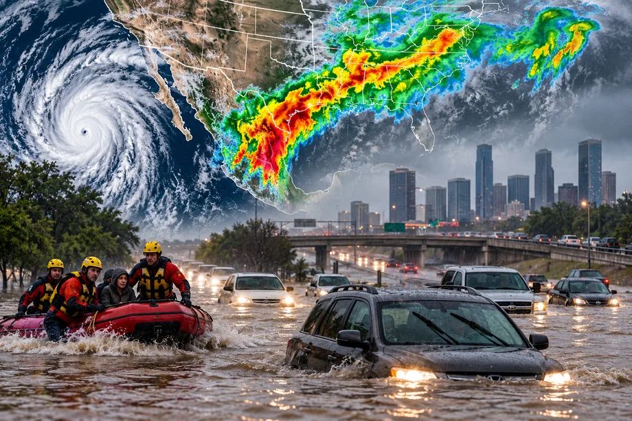
The remnants of former Hurricane Polo are pushing deeper into the United States, creating a sprawling flood threat that could bring torrential rain, flash flooding and severe thunderstorms to communities from Texas through the central Plains.
Polo dissipated over northwestern Mexico on Tuesday night, September 29, but the storm's tropical moisture did not disappear with it.
That moisture is now interacting with another weather system moving across the United States, creating conditions capable of producing exceptionally heavy rainfall through the end of the week.
Flood watches stretch across several states, while some communities could receive several inches of rain in a short period.
The most serious threat is shifting east after flooding already caused dangerous conditions across Arizona and New Mexico.
CBS News reported that more than 60 flash floods were recorded across the Southwest between Monday and Tuesday night, with rainfall rates reaching as much as four inches per hour in some locations. �
CBS News
The developing situation means millions of Americans could experience disruptive or dangerous weather before the system finally moves away.
Where is the flood threat now?
The focus is moving from the Southwest toward Texas, Oklahoma and the central Plains.
The Washington Post reported Wednesday that Polo's remnants were moving through the Texas and Oklahoma panhandles after producing major flooding farther west.
Rainfall is expected to spread into parts of Kansas, Nebraska, Iowa, Missouri and Illinois as the system continues east. �
The Washington Post
Texas is emerging as one of the most important areas to watch.
Parts of the state could receive several inches of rain, with localized totals potentially reaching around eight inches where thunderstorms repeatedly move over the same locations. �
The Washington Post +1
Dallas, Fort Worth, Austin and San Antonio are among the major population centers facing periods of heavy rain or elevated flooding risk.
Dallas faces a significant change in weather
North Texas has experienced an extended dry period, but the weather pattern is changing rapidly.
The Dallas Fort Worth area is under a flood watch as tropical moisture reaches the region.
CBS News reported that Dallas had not recorded measurable rainfall since July 16 as the flood threat approached. �
FOX Weather
Extremely dry ground does not automatically eliminate flash flood danger.
During intense thunderstorms, rainfall can arrive faster than soil and urban drainage systems can absorb it.
Roads, underpasses, creeks and other low lying areas can flood quickly.
Residents across North Texas are being urged to monitor local forecasts as the precise locations of the heaviest thunderstorms can change.
San Antonio could see up to eight inches in isolated areas
South Central Texas is also preparing for a potentially significant rainfall event.
The National Weather Service issued a flood watch for the San Antonio region beginning Wednesday evening.
Forecasts call for widespread rainfall totals of approximately two to four inches, while isolated locations could receive as much as eight inches through Saturday. �
San Antonio Express-News
The highest flooding risk around San Antonio is expected Thursday as the front approaches the Interstate 35 corridor.
Thunderstorms could also produce hail and damaging winds.
Rain is expected to continue into Friday in some areas, although the exact position of the front will determine where the largest totals ultimately occur.
Houston is watching two possible rounds of rain
The threat could eventually reach Southeast Texas as well.
Houston may experience two periods of heavy rainfall.
The first is expected from late Thursday into Friday as the slow moving front combines with moisture left behind by Polo.
A second period of rain could develop near the Gulf Coast during the weekend and into early next week. �
Houston Chronicle
Current forecasts suggest one to three inches could fall across parts of Southeast Texas during the first system.
Higher totals are possible closer to the coast.
The greatest concern would arise if thunderstorms repeatedly travel over the same neighborhoods.
That pattern can produce street flooding even when widespread river flooding is not expected.
New Mexico already faced a flood emergency
For residents of New Mexico, the danger is not theoretical.
Heavy rainfall produced serious flooding Tuesday, particularly in Doña Ana County.
The National Weather Service issued flash flood emergencies after officials reported dangerous conditions involving the McLeod Dam and flooding in the Hatch Valley area.
Evacuation orders were issued as authorities worked to reduce pressure on the dam.
CBS News reported that pumps were brought in to move water downstream while officials monitored the situation. �
CBS News
Drivers were also trapped by floodwater in southern New Mexico before conditions improved enough for the water to recede.
Nearly 100 flood related storm reports had been recorded across affected areas since Monday by Wednesday, according to the Washington Post. �
The Washington Post
Polo was an exceptionally powerful hurricane
The storm responsible for much of the tropical moisture was remarkable even before reaching Mexico.
Polo underwent an extraordinary period of rapid intensification over the eastern Pacific.
Its maximum sustained winds increased from approximately 45 mph to 150 mph between September 21 and September 22.
The National Hurricane Center described the intensification as remarkable.
Polo eventually reached maximum sustained winds of 180 mph, making it one of the strongest eastern Pacific hurricanes on record. �
CBS News
At its peak, Polo reached Category 5 intensity.
It later weakened before making landfall in Mexico.
Polo crossed Baja California Sur and the Gulf of California before reaching Sonora, then rapidly weakened as it moved inland.
By Tuesday night, it was no longer classified as a tropical cyclone.
Its moisture, however, continued moving north.
Why can a dead hurricane still cause flooding?
A hurricane does not need to remain an organized tropical cyclone to produce dangerous weather hundreds of miles inland.
Tropical systems contain enormous quantities of atmospheric moisture.
When the circulation collapses over land, that moisture can continue traveling with larger weather patterns.
In Polo's case, tropical moisture is interacting with a slow moving weather system and frontal boundary over the United States.
That combination creates an environment where thunderstorms can repeatedly develop.
The biggest danger comes when storms move over the same location for hours.
Meteorologists call this training.
Instead of receiving a brief thunderstorm, one community can experience several consecutive rounds of heavy rainfall.
That can overwhelm drainage systems and cause streams and rivers to rise rapidly.
Up to six inches possible around Omaha and Des Moines
The flood threat is not limited to Texas.
Parts of the central Plains and Midwest could receive some of the week's heaviest rainfall.
The Washington Post reported that areas around Omaha and Des Moines could receive up to approximately six inches of rain as the system shifts eastward. �
The Washington Post
Kansas and Nebraska are also within the developing heavy rain zone.
The combination of tropical moisture and a slow moving front means rainfall could continue for an extended period rather than passing through quickly.
Flooding risk therefore depends not only on how much rain falls in one thunderstorm, but also on the cumulative rainfall over several days.
Severe thunderstorms could accompany the flooding
Flooding is not the only concern.
Some thunderstorms could become severe as the system moves across the Plains.
Damaging winds and isolated tornadoes are possible in parts of the affected region through Wednesday night, according to the Washington Post. �
The Washington Post
That creates a complicated weather situation.
Residents may need to respond to both severe thunderstorm warnings and flash flood warnings, sometimes simultaneously.
Anyone sheltering from a tornado or damaging winds should avoid basements if the location is also experiencing rapidly rising floodwater.
Local emergency instructions should take priority because conditions can vary dramatically from one community to another.
More than 150 million could encounter the broader flood threat
The geographic scale of this week's weather pattern is unusually large.
FOX Weather estimated that more than 150 million people across more than 30 states could fall within the broader multiday flood threat as tropical moisture spreads across the country. �
FOX Weather
That figure does not mean 150 million people will experience flooding.
It represents the population within the much larger region where flooding could potentially develop during the evolving weather pattern.
The highest risk zones cover a much smaller population and change as the system moves.
That distinction is important because flash flood forecasts are highly localized.
One city can experience destructive flooding while another nearby receives relatively modest rainfall.
The storm could affect travel
Heavy rainfall could cause significant travel disruption.
Flash flooding is particularly dangerous for motorists because water depth can be difficult to judge, especially at night.
Roads can also wash out beneath moving water.
The National Weather Service routinely advises drivers never to attempt to cross a flooded roadway.
Airport delays are also possible where thunderstorms become persistent.
Dallas Fort Worth International Airport and other major transportation hubs in the central United States could experience weather related disruptions if thunderstorms move directly across flight paths.
Travelers should check flight status before heading to airports during periods of severe weather.
Some areas could receive drought relief
Not every consequence of the rain will be negative.
Parts of the Southwest have been experiencing severe drought conditions.
Rainfall associated with Polo could provide meaningful moisture to drought affected areas of New Mexico, Arizona and Colorado.
The Center for Western Weather and Water Extremes said some watersheds could receive a substantial portion of their normal annual precipitation during the event. �
The Watchers
But drought relief and flood danger can occur at the same time.
Extremely heavy rainfall over dry terrain can generate rapid runoff rather than gradually soaking into the soil.
Burn scars, desert landscapes, steep terrain and urban surfaces can make flash flooding even more dangerous.
Another Pacific system is adding moisture
Polo is not the only tropical influence involved.
Moisture associated with other Pacific tropical systems is also contributing to the unusually wet atmospheric pattern.
This additional moisture is being pulled north and east by the broader circulation over the western and central United States.
That is one reason the flood threat extends so far beyond the original path of Hurricane Polo.
The storm itself has disappeared, but the atmosphere is redistributing its moisture across a huge portion of the country.
What residents should do
People in affected areas should monitor forecasts and warnings from the National Weather Service� throughout the event.
Flash flood warnings require immediate attention.
Floodwater can rise quickly, particularly near creeks, washes, drainage channels and low lying roads.
Drivers should never attempt to cross a road covered by moving water.
Residents in areas with evacuation orders should follow instructions from local emergency officials rather than waiting to see whether conditions worsen.
People living near dams, rivers or normally dry washes should pay particular attention because water levels can change rapidly far upstream from where flooding ultimately occurs.
When will the flood threat end?
The most significant rainfall is expected to continue shifting east through the remainder of the week.
Texas and parts of the central Plains face elevated risks Wednesday and Thursday.
Heavy rain could continue in portions of Texas through Friday, while some Gulf Coast areas may remain unsettled into the weekend. �
San Antonio Express-News +1
The exact location of the heaviest rain remains uncertain because relatively small changes in the position of the slow moving front could dramatically alter rainfall totals.
That means forecasts will continue changing as the event develops.
Polo may no longer exist as a hurricane, but its impact on the United States is far from over.
After triggering serious flooding in the Southwest, its tropical moisture is now moving into some of America's most populated central regions, where several days of heavy rain could create the next round of dangerous flash floods.