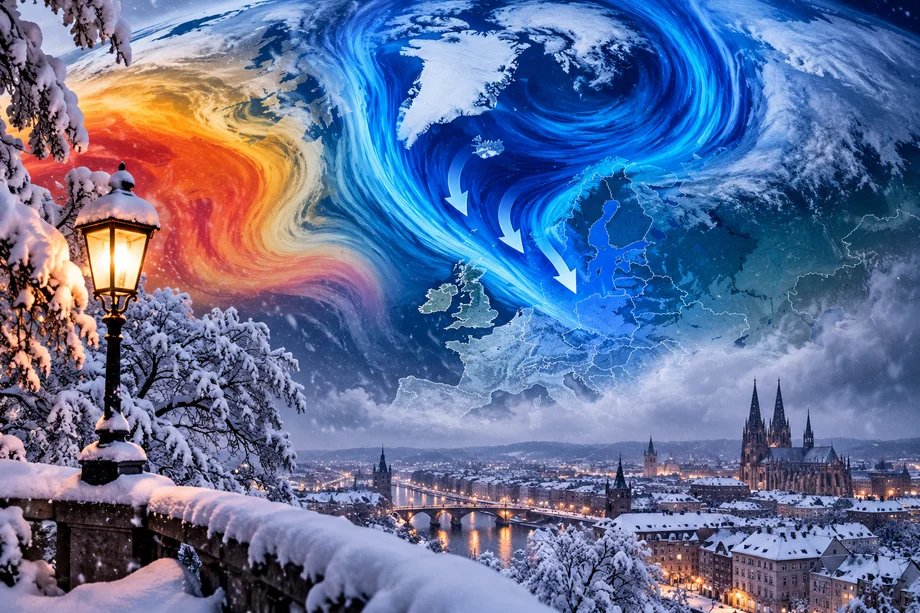
Europe's coming winter has acquired a major wild card.
A powerful El Niño developing over the tropical Pacific could eventually disturb atmospheric circulation high above the Arctic, potentially weakening the polar vortex and opening the door to episodes of bitter cold across parts of Europe.
The possibility has triggered intense interest in Germany, where searches for the German term "Polarwirbel" surged as new winter forecasts circulated.
German meteorologist Dominik Jung wrote for HNA that exceptionally warm Pacific waters associated with the current El Niño can generate large atmospheric waves capable of reaching the stratosphere, where the polar vortex forms.
The polar vortex is a vast circulation of cold air high above the Arctic. When it remains strong and stable, much of the coldest air tends to stay concentrated farther north.
But when the vortex is significantly disrupted, Arctic air can sometimes escape southward, increasing the possibility of severe cold spells across parts of Europe.
That is where the uncertainty surrounding winter 2026 and 2027 becomes particularly interesting.
Jung says the risk of significant cold outbreaks could increase later in the season, particularly around February and March. But he also stresses that a powerful El Niño does not automatically produce an exceptionally cold European winter.
History demonstrates why caution is necessary.
During the major El Niño of 2015 and 2016, the polar vortex remained relatively stable and Germany experienced predominantly mild conditions. Other atmospheric forces, particularly conditions over the North Atlantic, can have a much stronger influence on European winter weather.
Current long range modeling also provides no guarantee of an Arctic winter.
Some forecasts continue to favor temperatures above the seasonal average across Germany, potentially accompanied by wetter and stormier conditions. At the same time, even a generally mild winter can contain short periods of intense snow and cold if atmospheric circulation suddenly changes.
That makes the polar vortex one of the atmospheric features meteorologists will be watching closely as Europe moves toward winter.
For now, forecasts of a historic freeze should be treated cautiously.
The ingredients for dramatic weather may be present, but whether they combine to send Arctic air deep into Europe will become much clearer only as winter approaches.