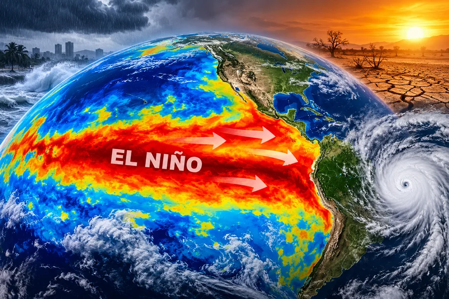
El Niño is strengthening rapidly across the Pacific Ocean, and climate scientists say the current event could become one of the most powerful ever recorded.
The latest outlook from the US National Oceanic and Atmospheric Administration says there is a greater than 90 percent chance of a very strong El Niño during fall and winter 2026 and 2027.
Even more striking, NOAA estimates a 75 percent chance that the October through December period reaches historic strength, exceeding previous El Niño events measured since 1950.
That has renewed comparisons with the extraordinary El Niño of 1997 and 1998.
Why scientists are watching 1997
The 1997 and 1998 El Niño was among the strongest events of the twentieth century.
NOAA records show that unusually warm Pacific waters during that event dramatically altered rainfall patterns across the tropics. Indonesia experienced severe rainfall deficits, while parts of the eastern Pacific saw significantly increased rainfall.
The event also affected weather across the United States. California faced the potential for a very wet and stormy winter, while the Gulf Coast experienced cooler and wetter conditions.
The developing 2026 event is now becoming strong enough to invite comparisons.
Pacific temperatures are exceptionally high
NOAA's September update showed sea surface temperature anomalies exceeding 3°C above average in parts of the eastern equatorial Pacific.
The closely watched Niño 3.4 region had reached an anomaly of approximately 1.8°C, while some eastern Pacific regions were even warmer.
These changes in Pacific Ocean temperatures can influence atmospheric circulation thousands of kilometers away.
El Niño occurs when unusually warm waters in the central and eastern tropical Pacific interact with the atmosphere, changing major wind and rainfall patterns.
What could El Niño mean for the United States?
El Niño's strongest effects across the US often emerge during winter.
NOAA explains that a typical El Niño shifts the North Pacific jet stream southward, influencing where storms travel across the country.
Historically, strong El Niño winters have increased the chances of wetter conditions across parts of the southern United States, while northern regions can experience milder conditions.
California and the Southwest are particularly closely watched because some powerful El Niño events have brought significantly increased precipitation.
However, El Niño does not guarantee specific weather in any individual city or state.
Atlantic hurricanes could be suppressed
The powerful Pacific warming is also influencing the Atlantic hurricane season.
NOAA says strong El Niño conditions typically increase atmospheric wind shear over the Atlantic, making it more difficult for tropical storms and hurricanes to develop and strengthen.
Every strong El Niño observed during the modern high activity Atlantic era has coincided with below normal seasonal hurricane activity, according to NOAA.
The 1997 event also produced a dramatic reduction in Atlantic tropical storm and hurricane activity.
Global impacts could be significant
El Niño is a global climate phenomenon.
Strong events can shift rainfall patterns across South America, Australia, Southeast Asia, Africa and other regions.
Some areas can become unusually wet while others experience drought and extreme heat.
The exact effects vary considerably from one El Niño to another, meaning the 2026 event will not necessarily reproduce what happened in 1997.
NOAA specifically warns that El Niño is only one factor influencing weather and that regional atmospheric conditions can significantly change its effects.
The next update is days away
The next official NOAA ENSO diagnostic update is scheduled for October 8.
Scientists will be watching whether Pacific temperatures continue climbing as the Northern Hemisphere moves deeper into autumn.
For now, NOAA's assessment is unusually strong: El Niño is intensifying, there is more than a 90 percent probability of a very strong event, and a 75 percent chance it reaches historic strength during October through December.
That makes the coming months particularly important for understanding how one of the world's most influential climate patterns could reshape weather through the winter.